| Flow (in cfs) - last revised Jan 31, 2026 | ||||||||||
|---|---|---|---|---|---|---|---|---|---|---|
| Height (feet) | .0 | .1 | .2 | .3 | .4 | .5 | .6 | .7 | .8 | .9 |
| 1 | 106 | |||||||||
| 2 | 122 | 140 | 158 | 180 | 203 | 227 | 250 | 274 | 300 | 328 |
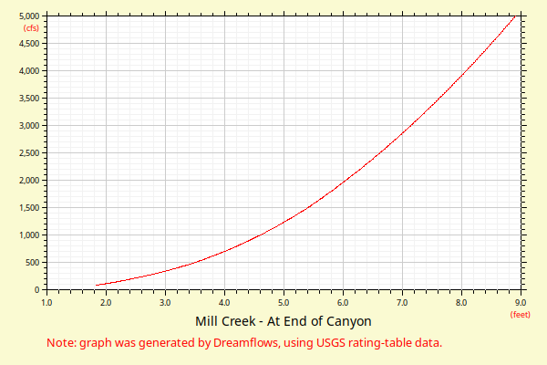
| 3 | 356 | 385 | 415 | 447 | 480 | 515 | 552 | 591 | 631 | 674 |
| 4 | 717 | 763 | 810 | 859 | 909 | 962 | 1016 | 1072 | 1129 | 1189 |
| 5 | 1250 | 1313 | 1378 | 1445 | 1514 | 1588 | 1663 | 1739 | 1817 | 1897 |
| 6 | 1978 | 2061 | 2146 | 2232 | 2320 | 2409 | 2500 | 2592 | 2686 | 2781 |
| 7 | 2878 | 2977 | 3077 | 3178 | 3281 | 3386 | 3492 | 3600 | 3709 | 3820 |
| 8 | 3932 | 4046 | 4161 | 4278 | 4396 | 4516 | 4637 | 4760 | 4884 | 5009 |
| 9 | 5137 | 5265 | 5395 | 5527 | 5660 | 5795 | 5931 | 6068 | 6207 | 6347 |
| 10 | 6489 | 6633 | 6777 | 6924 | 7071 | 7220 | 7371 | 7523 | 7676 | 7831 |
| 11 | 7988 | 8145 | 8305 | 8465 | 8627 | 8791 | 8956 | 9122 | 9290 | 9459 |
| 12 | 9629 | 9801 | 9975 | 10150 | 10326 | 10503 | 10682 | 10863 | 11045 | 11228 |
| Height (feet) | .0 | .1 | .2 | .3 | .4 | .5 | .6 | .7 | .8 | .9 |
| 13 | 11413 | 11599 | 11786 | 11975 | 12165 | 12357 | 12550 | 12744 | 12940 | 13137 |
| 14 | 13336 | 13536 | 13737 | 13940 | 14144 | 14349 | 14556 | 14764 | 14974 | 15185 |
| 15 | 15397 | 15611 | 15826 | 16043 | 16260 | 16479 | 16700 | 16922 | 17145 | 17370 |
| 16 | 17596 | 17823 | 18052 | 18282 | 18513 | 18746 | 18980 | 19215 | 19452 | 19690 |
| 17 | 19930 | 20171 | 20413 | 20656 | 20901 | 21147 | 21395 | 21644 | 21894 | 22145 |
| 18 | 22398 | 22652 | 22908 | 23165 | 23423 | 23683 | 23943 | 24206 | 24469 | 24734 |
| 19 | 25000 | |||||||||